Do you want to go hiking in Bosnia and Herzegovina - or more precisely around Sarajevo? Here you will find the best routes and day hikes including GPS data.

Hiking tours were never really my thing - when I was still in Cape Town I would have liked to have lived as a Granola Girlie but basically I have only ever paid a short visit to the mountains.
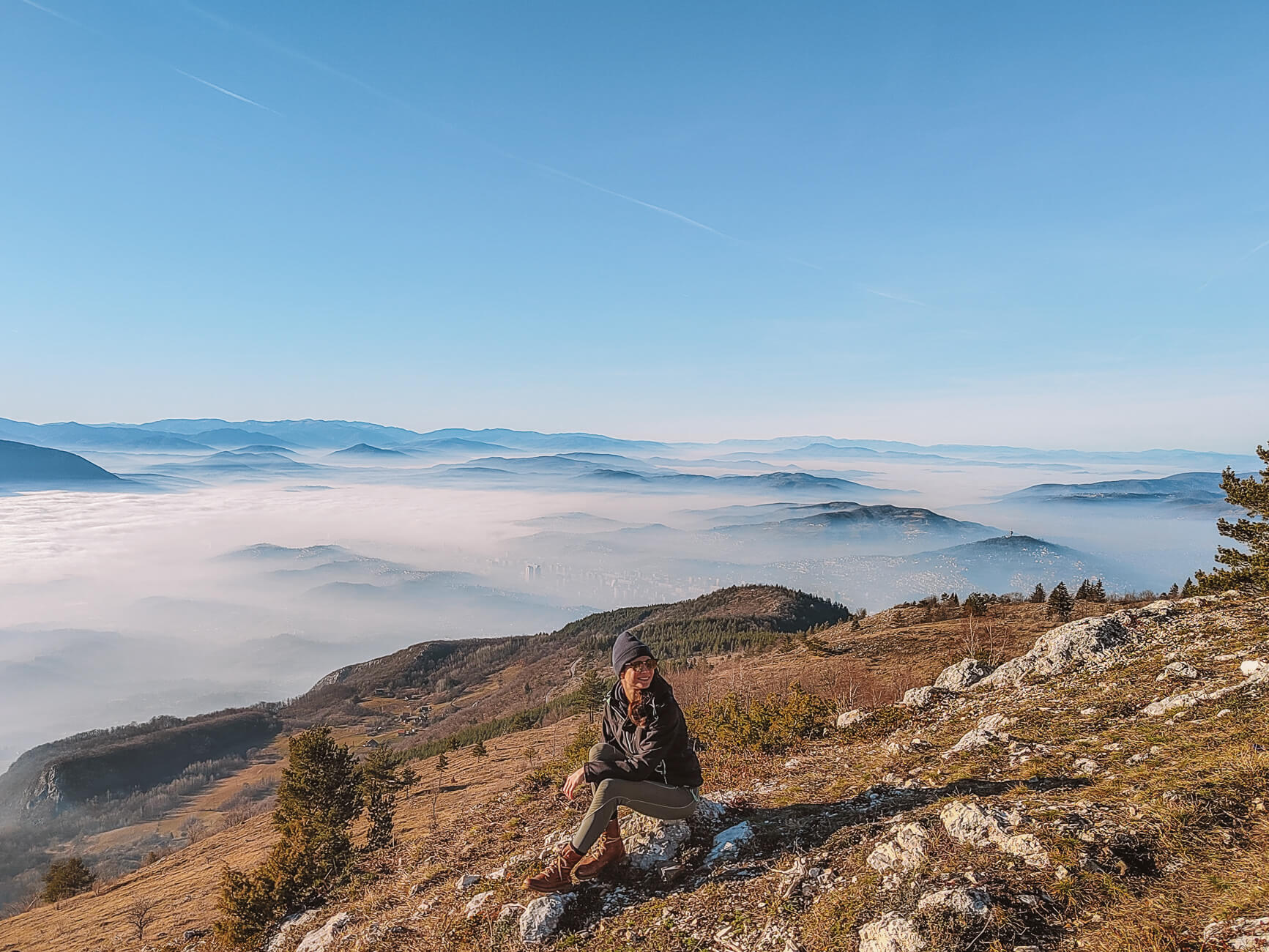
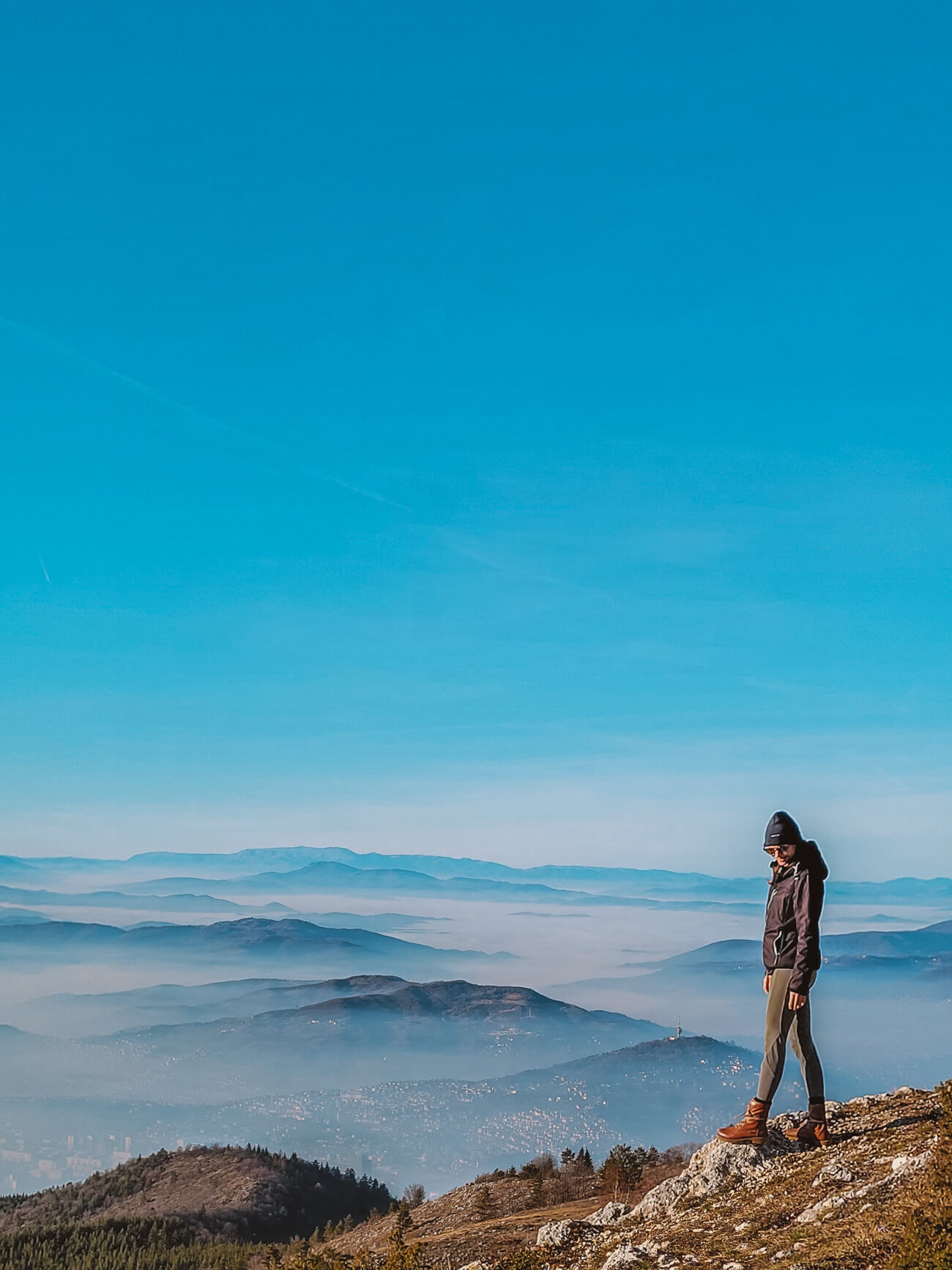
That only changed when I moved to Bosnia and Herzegovina. Living in Sarajevo - surrounded by mountains up to 2,000 metres high and with numerous national parks such as the Sutjeska or Durmitor almost on our doorstep, that has also awakened in me a love and desire to spend more time in nature. And to make the most of the mountains around us, as long as they are still close to nature and not overcrowded.
In this article you will find a selection of my favourite hikes (incl. GPS data) around Brewery - a few of them real classics that belong on every bucket list, a few of them less well-known.
This blog article contains personal recommendations in the form of affiliate links. If you book or buy something via the links, I will receive a small commission. This does not change the price for you at all. Thank you for your support.


Skakavac | Hike to the Grasshopper Waterfall
Length: 8,66 km | Altitude metres: 524 +/- | Walking time: 2,35 hours | Tour on all trails
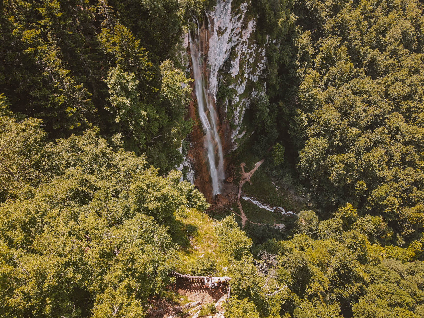
Skakavac Nature Park is still something of an insider tip in Sarajevo - not because the hike is less exciting, simply because Trebević is easier to reach for many visitors.
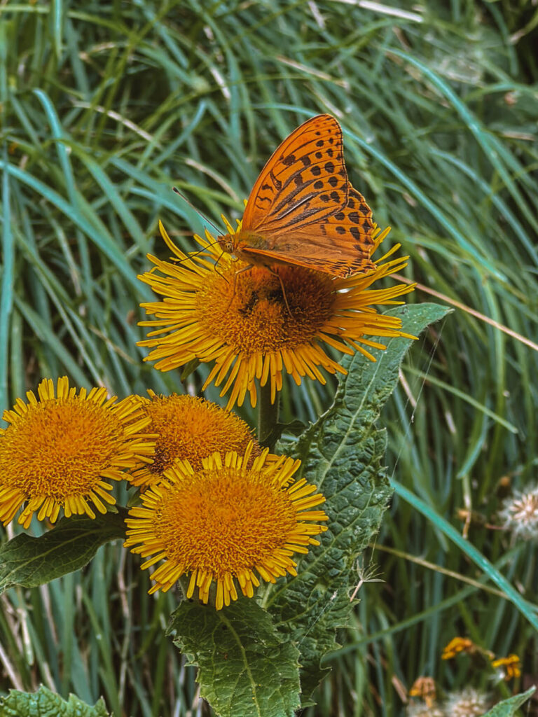
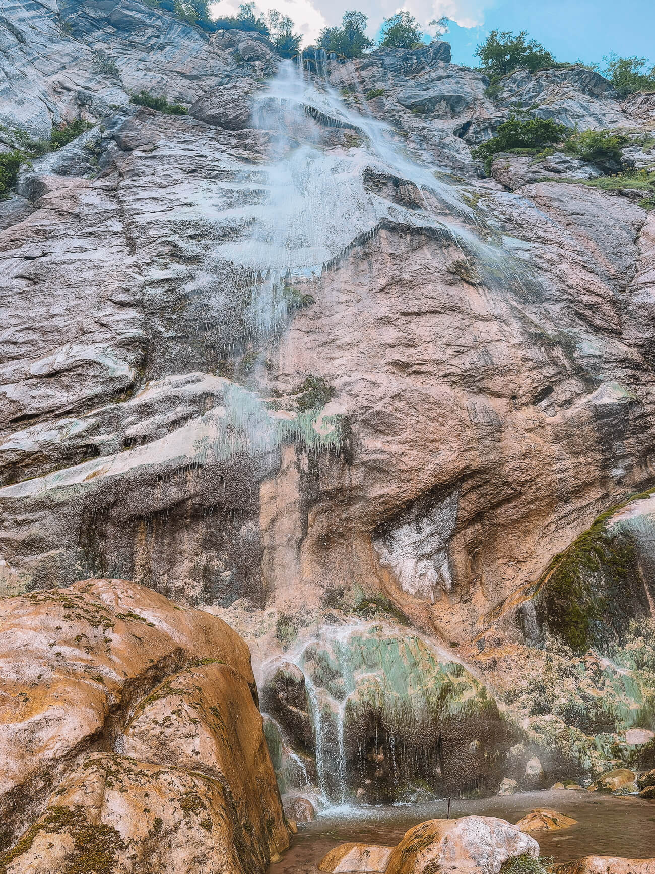
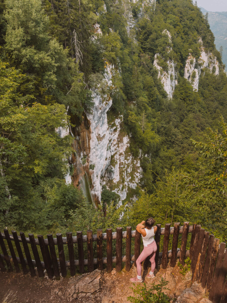
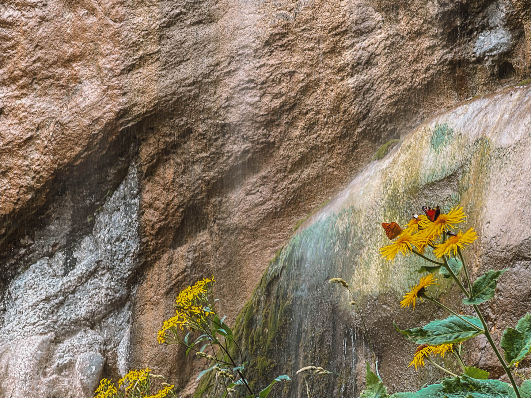
But the hike to the 98 metre high Skakavac waterfall is really great and not too challenging - if you don't want to exert yourself too much, you can even just hike up to the viewing platform. For everyone else, however, I recommend the path down to the waterfall - even if it doesn't carry much water, it is really impressive.
Tip // Follow my route on AllTrails and take the path anti-clockwise, first to the viewing platform, then down to the Skakavac waterfall to save yourself a super steep climb.
Lukomir | Explore Bosnia's loneliest village
Length: 15,0 km | Altitude metres: 532 +/- | Walking timeapprox. 4.2 hrs. Tour on AllTrails
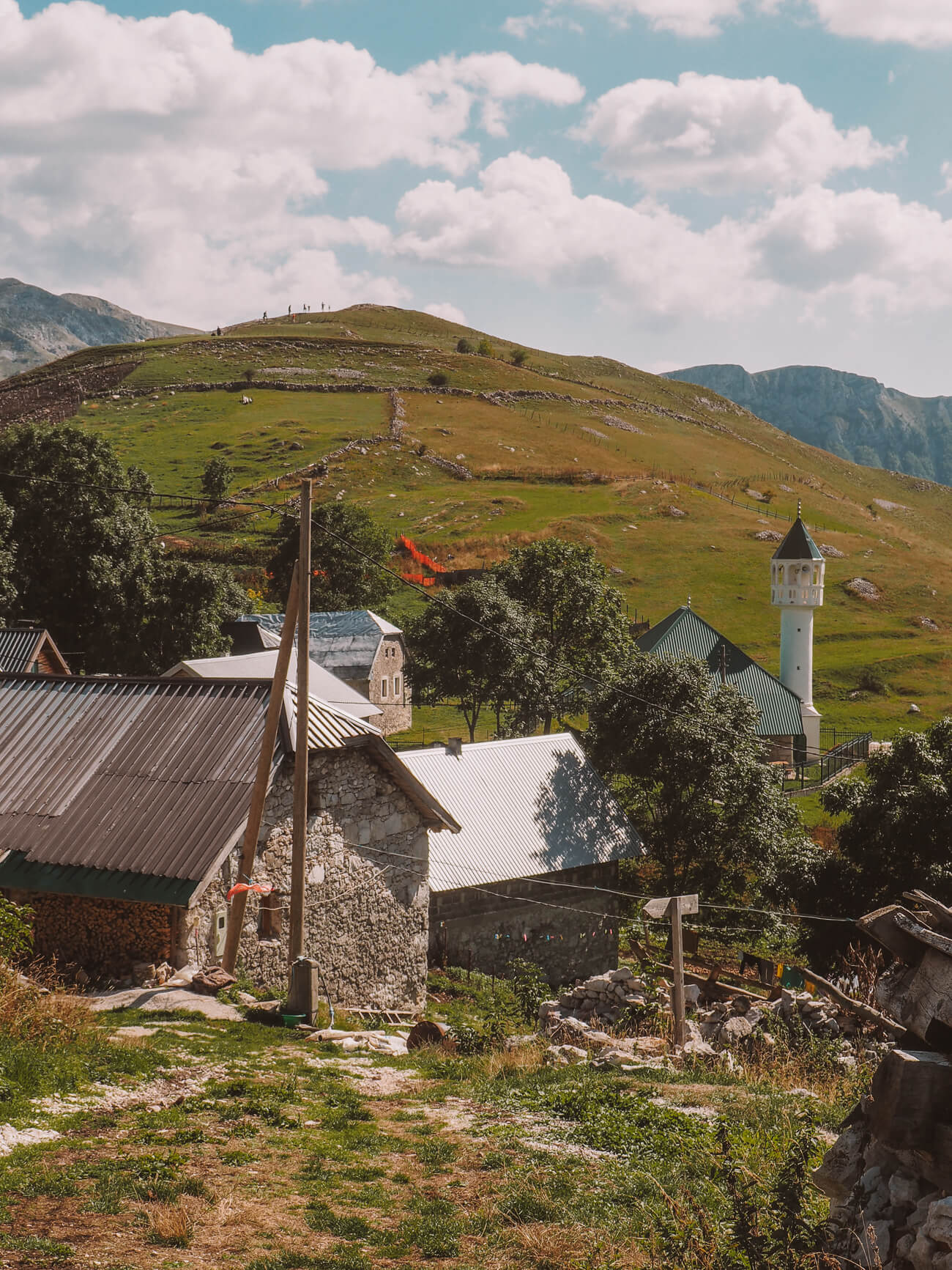
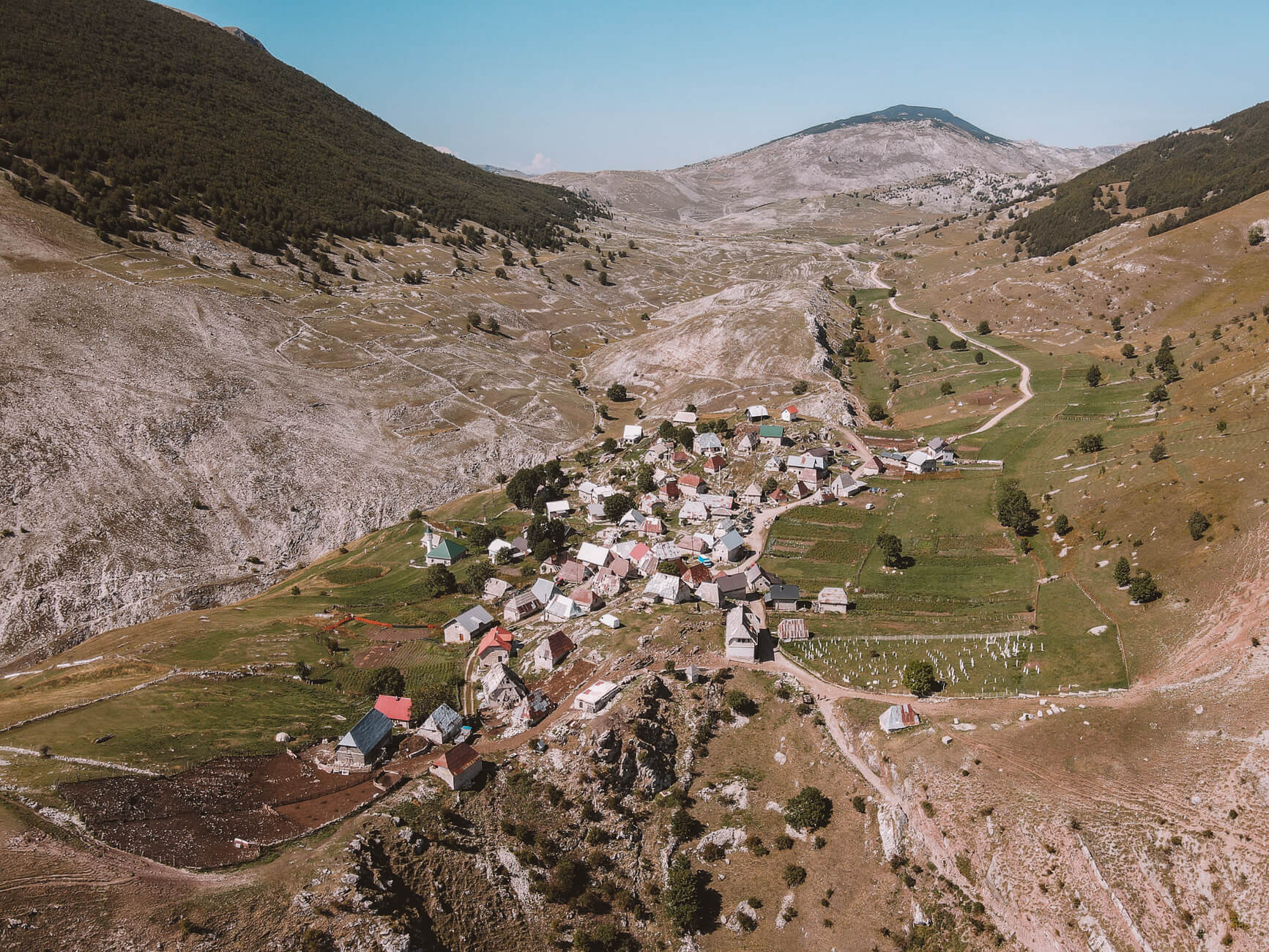
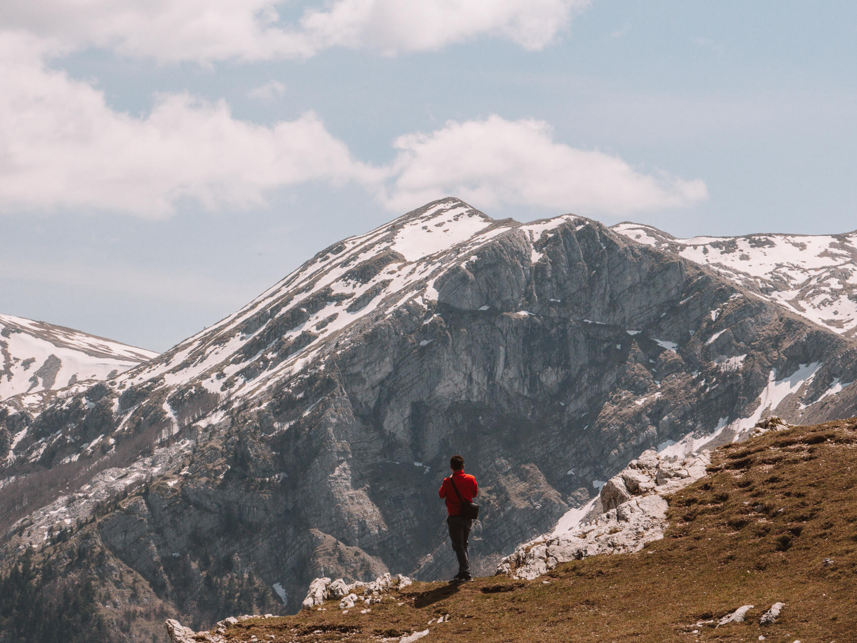
The hike from Umoljani to Lukomir is a highlight among outdoor enthusiasts visiting Sarajevo and Bosnia and Herzegovina and is almost a must.
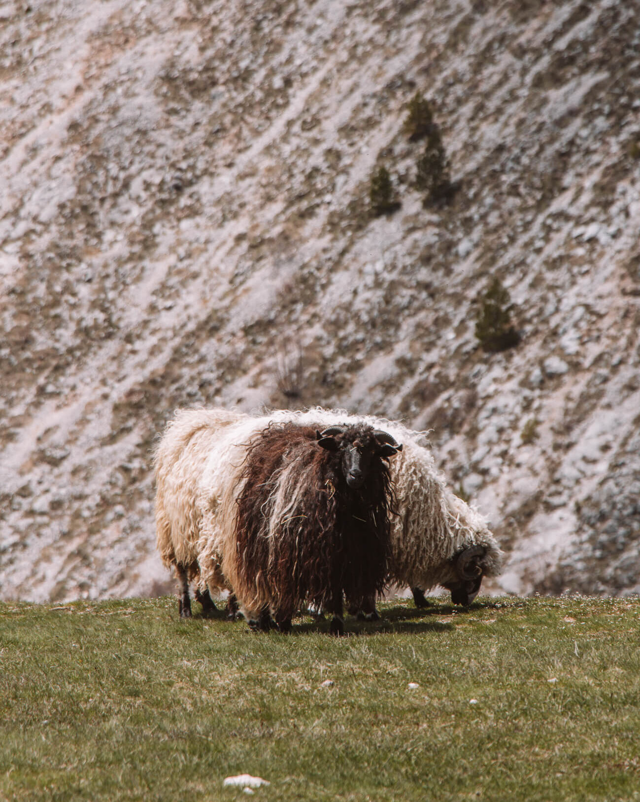
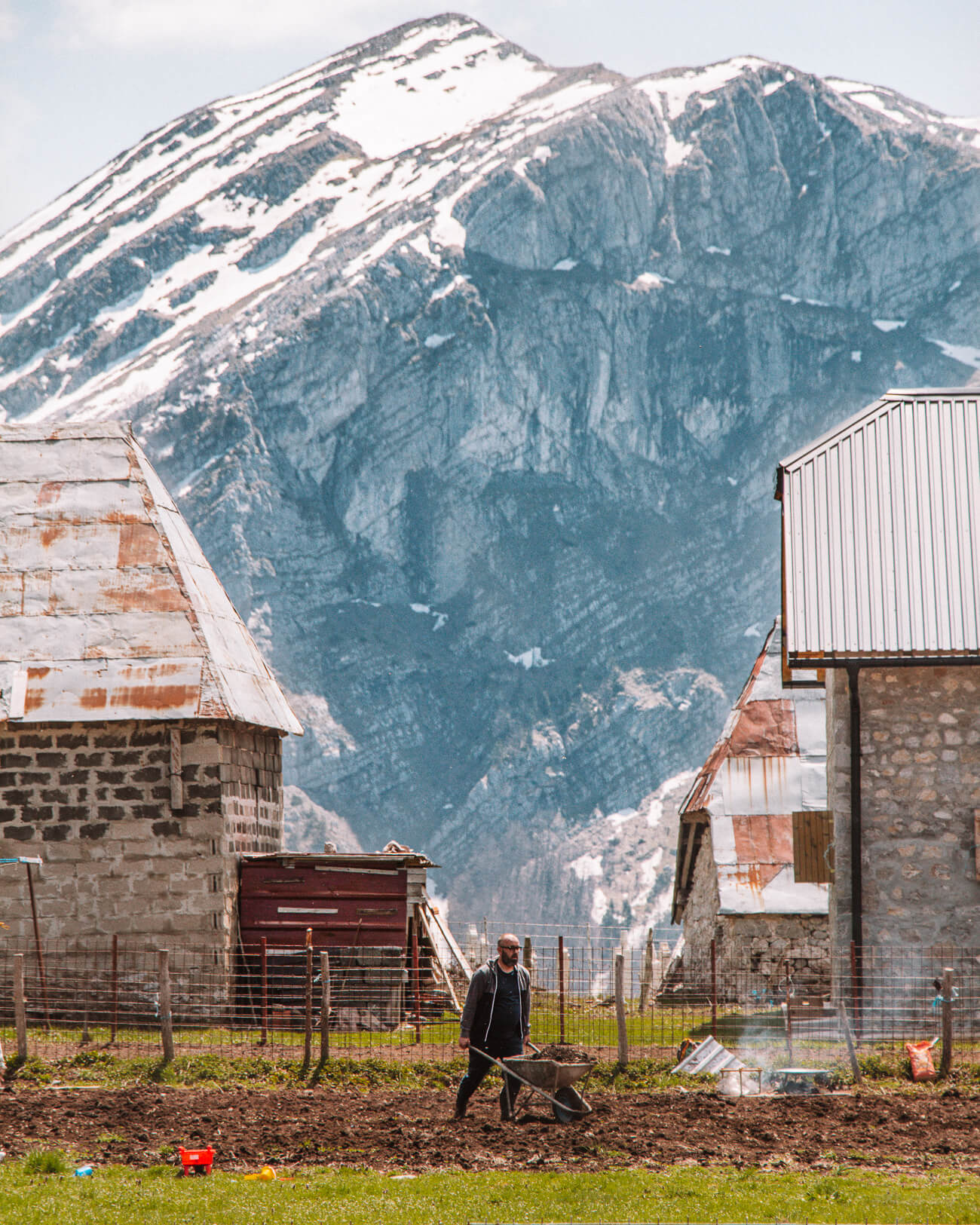
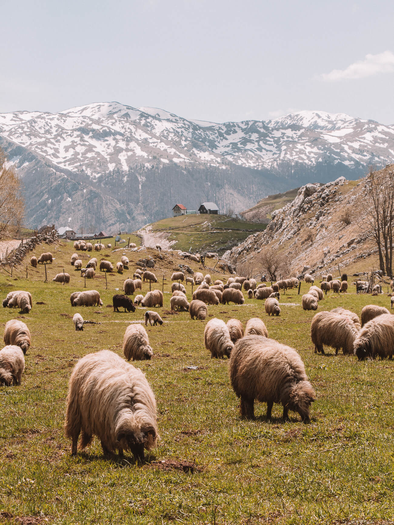
And rightly so. Bosnia's highest village on the Bjelašnica massif really does have a very special atmosphere: the houses hug the edge of the Rakitnica Canyon (incidentally the second deepest canyon in Europe) and the 19 families who live here as semi-nomads during the summer months make their living from cattle farming and agriculture - and in recent years increasingly from tourism.
You can also do this hike undertake as a guided hikeif you don't have transport - because there is no public transport to the starting point in Umoljani.
Tip // How about an overnight stay on Bjelašnica to enjoy the tranquillity of the mountain a little longer? You can do this either directly in Lukomir in a homestayat the starting point of your hike in a Cottage in Umoljani or in the Spa Hotel Nomad in the ski resort Babin Do.
Jure Franko | Sarajlije's favourite hike
Length: 6.48 km | Altitude metres: 398 +/- | walking time: 2.2 hrs. | Tour on Wikiloc
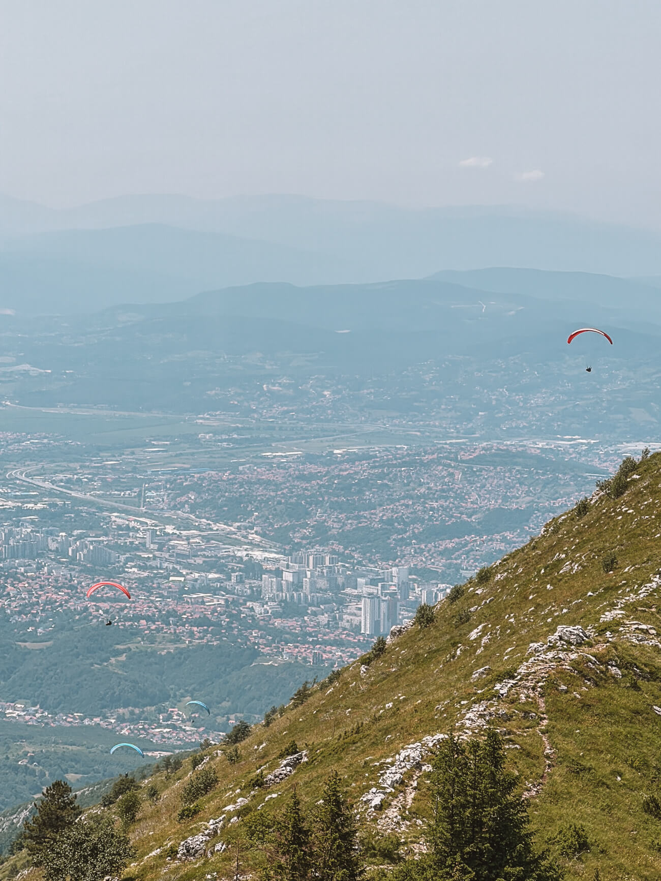
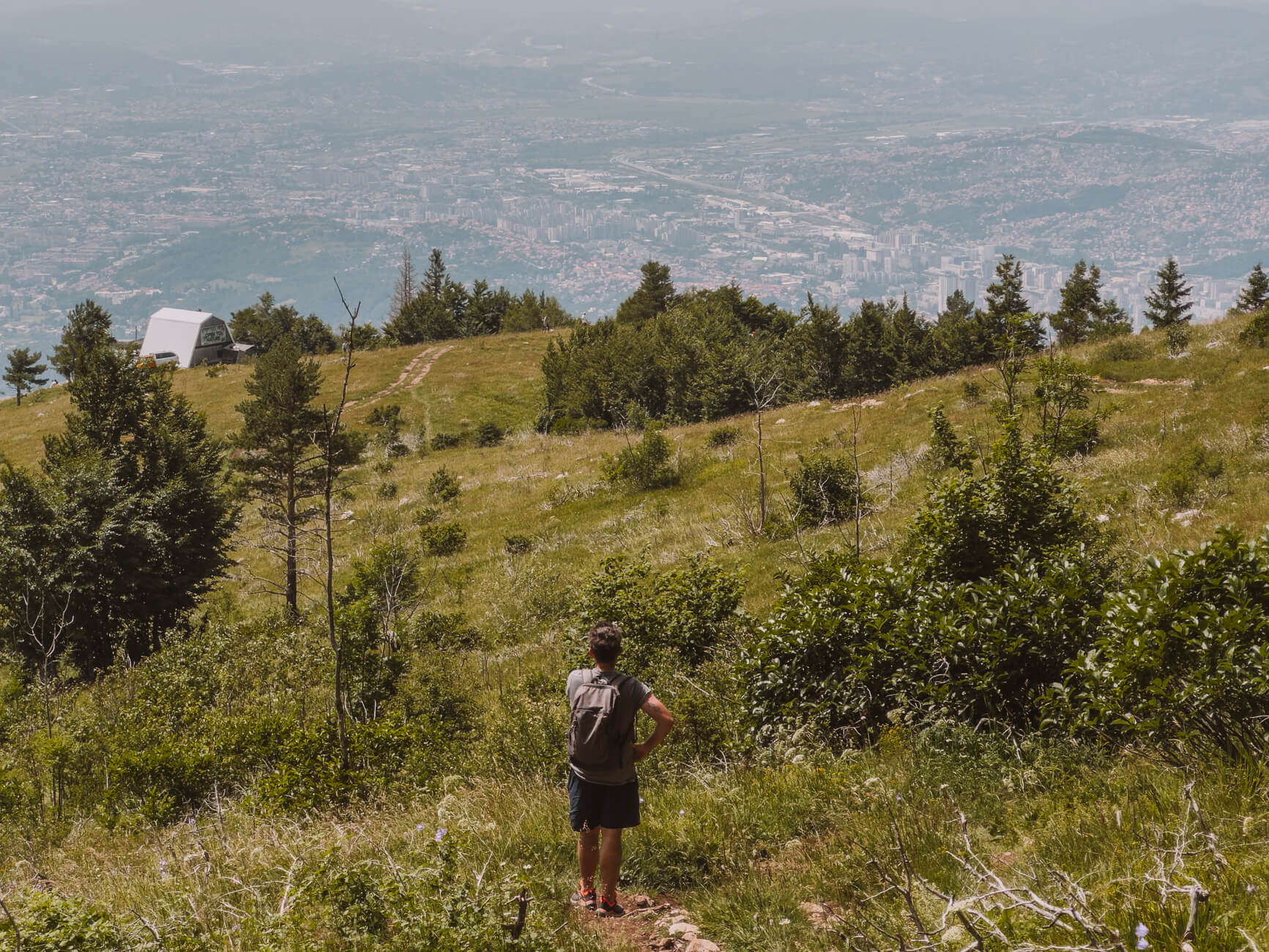
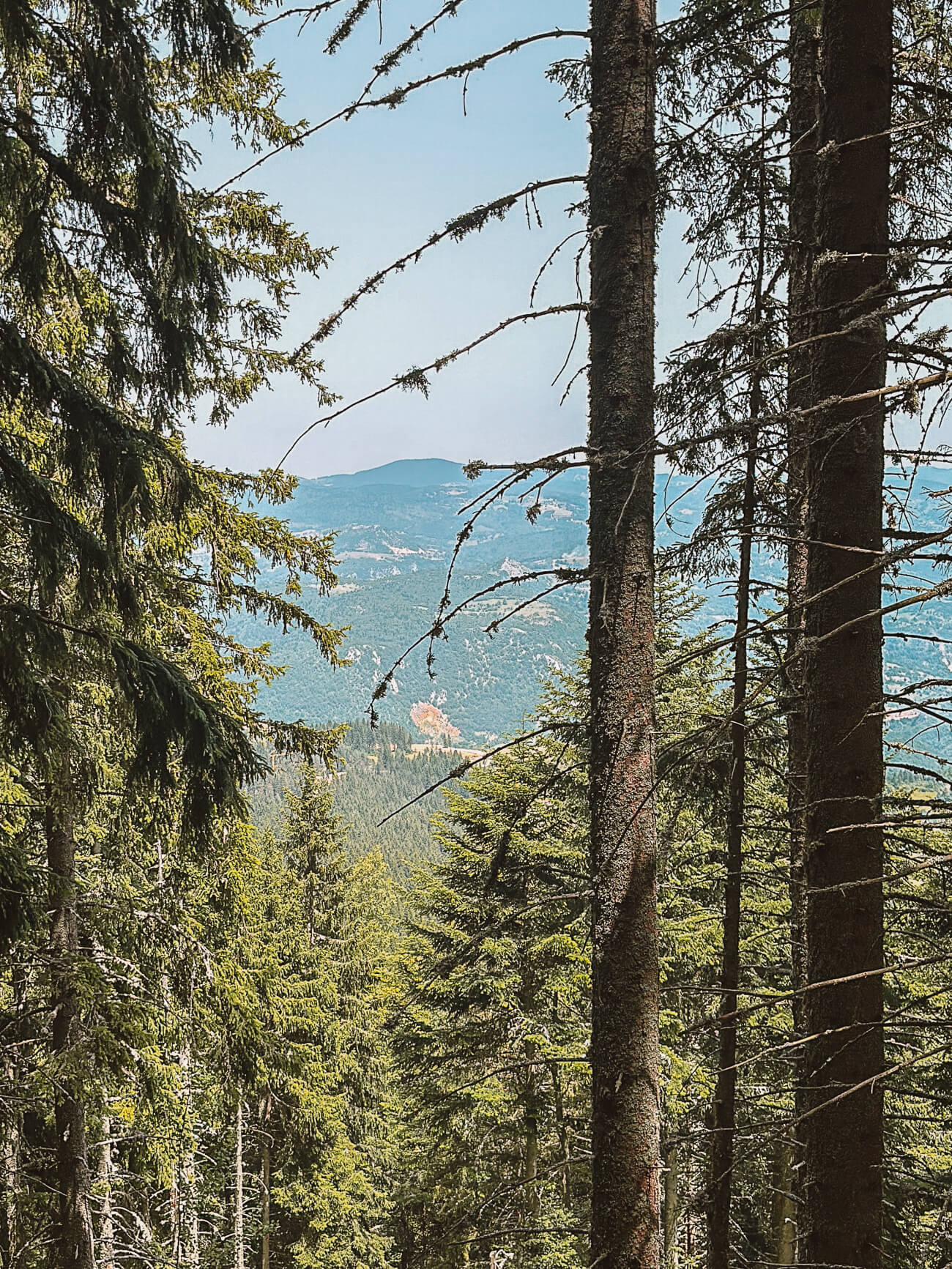
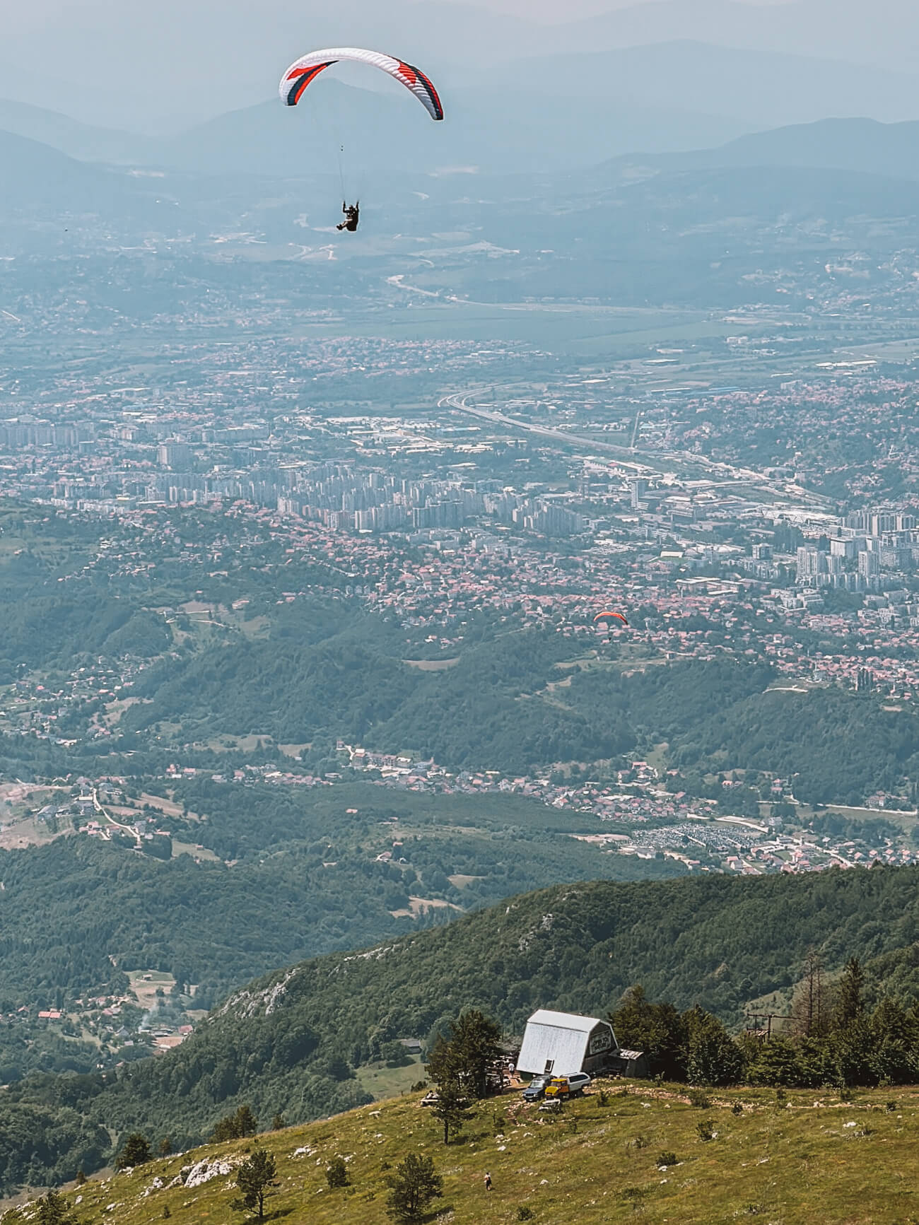
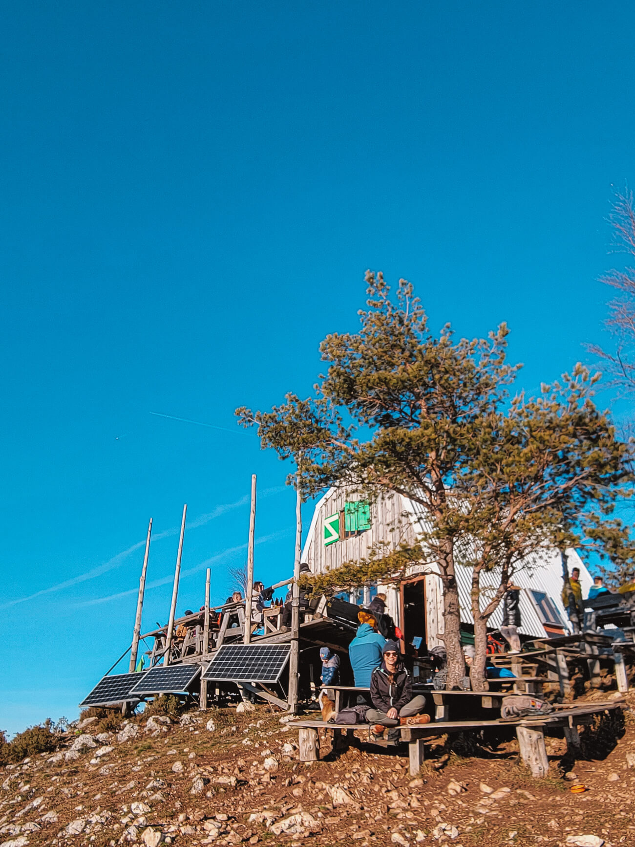
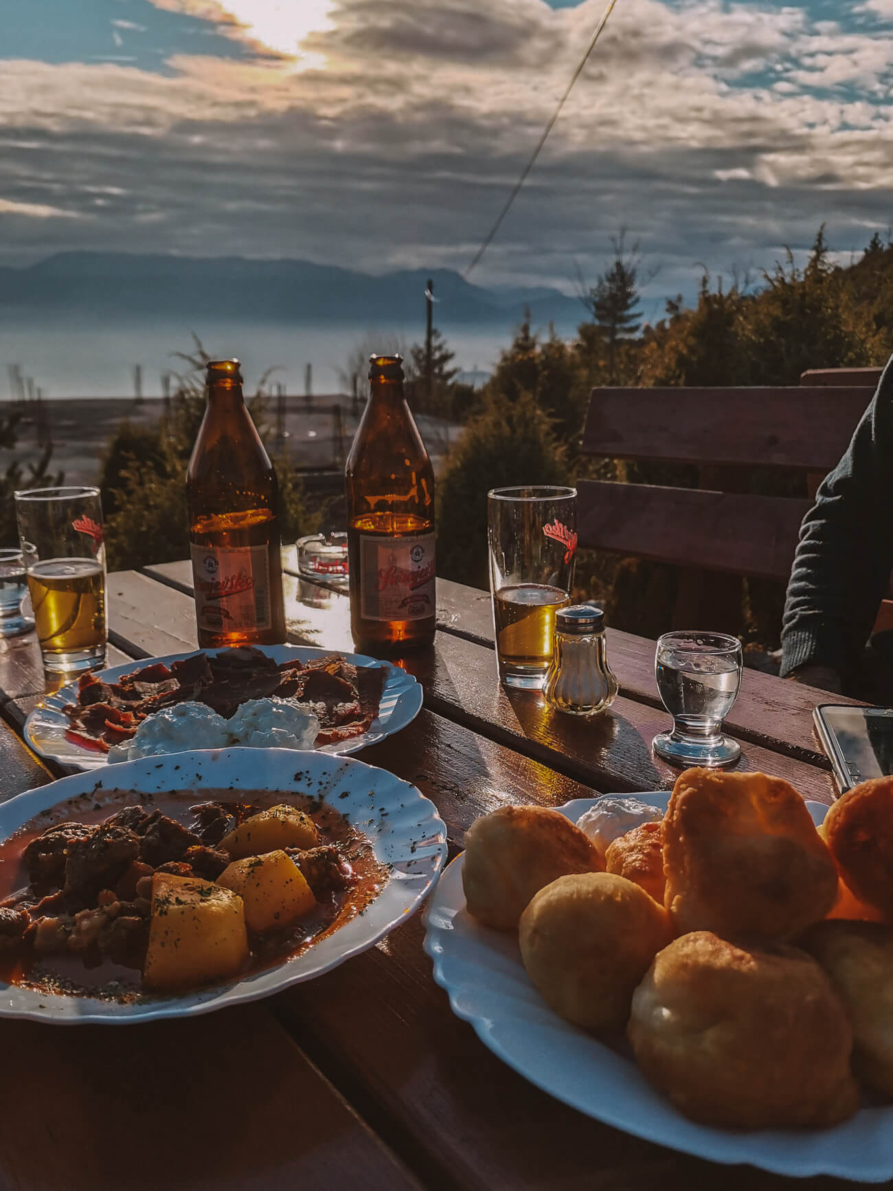
This hike is a favourite of the people of Sarajevo - perfect for an afternoon, in summer or winter. The ascent through the forest is not too steep and typical Bosnian dishes, herbal tea and cold beer await you every day at the Jure Franko mountain hut.
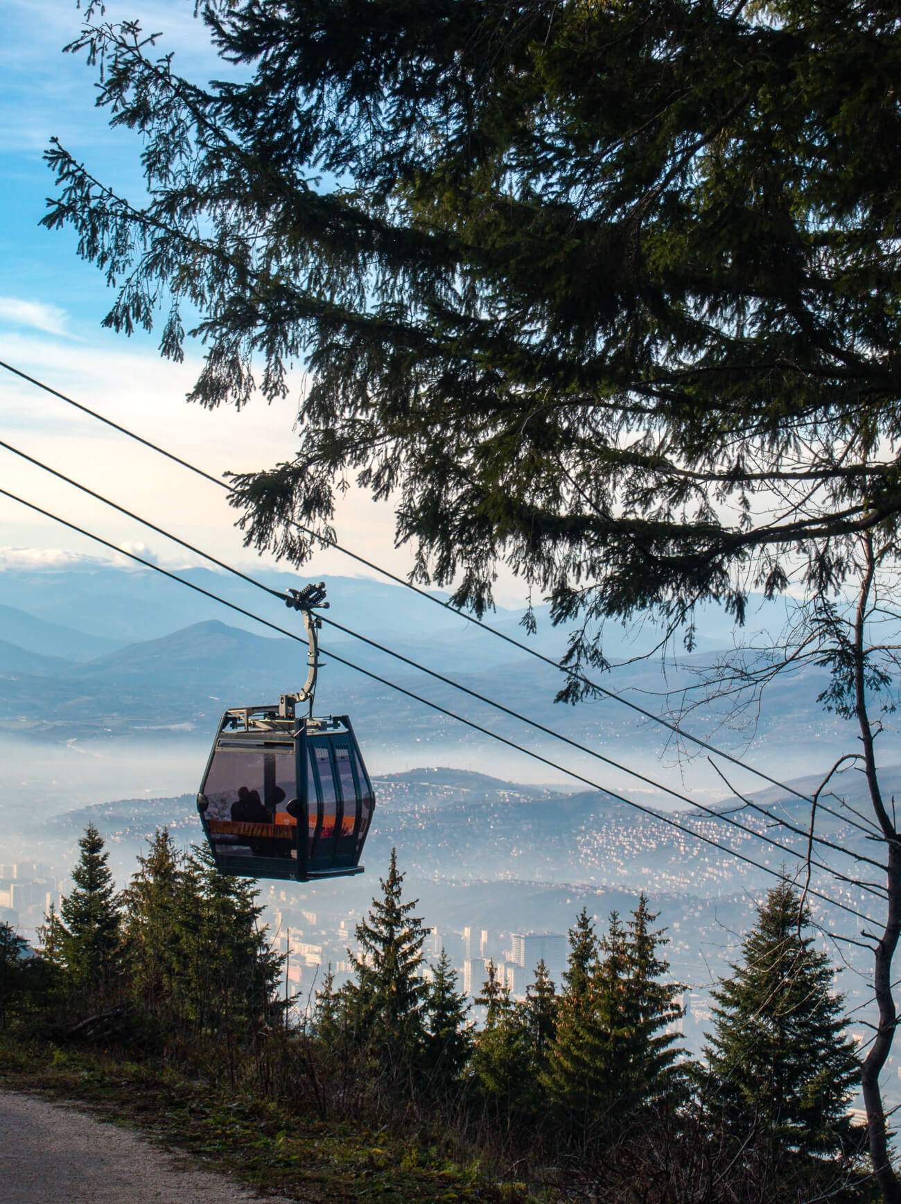
Tip // If you don't have a car to drive to the starting point of the hike at Hotel Pino, you can also take the cable car, which will extend your hike by another 3.6 kilometres and an hour. However, pay attention to when the last cable car back to Sarajevo departs, especially in winter.
Easy navigation on the trail | I always use the AllTrails app for navigation in addition to the marked hiking trails. The most popular hiking routes in Bosnia and Herzegovina are well mapped here. If you want to go hiking off the beaten track, then download mapy.cz - there really are each possible trail.
I would recommend getting an eSIM for mobile data so that you can follow the route and can be reached in an emergency. Bosnia and Herzegovina is not in the EU - which means you can't use your mobile data and roaming is expensive. With a Airalo data plan for Bosnia and Herzegovina but you'll be mobile as soon as you arrive. You can download the app here.
Vito | Hiking on Visočica
Length: 8,79 km | Altitude metres: 464 +/- | Walking time: 2,50 hours | Tour on all trails
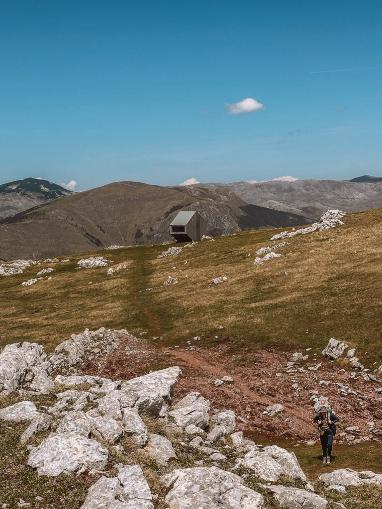
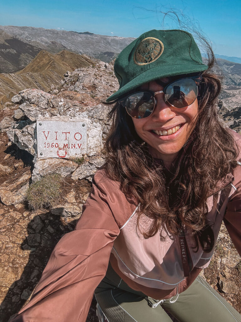
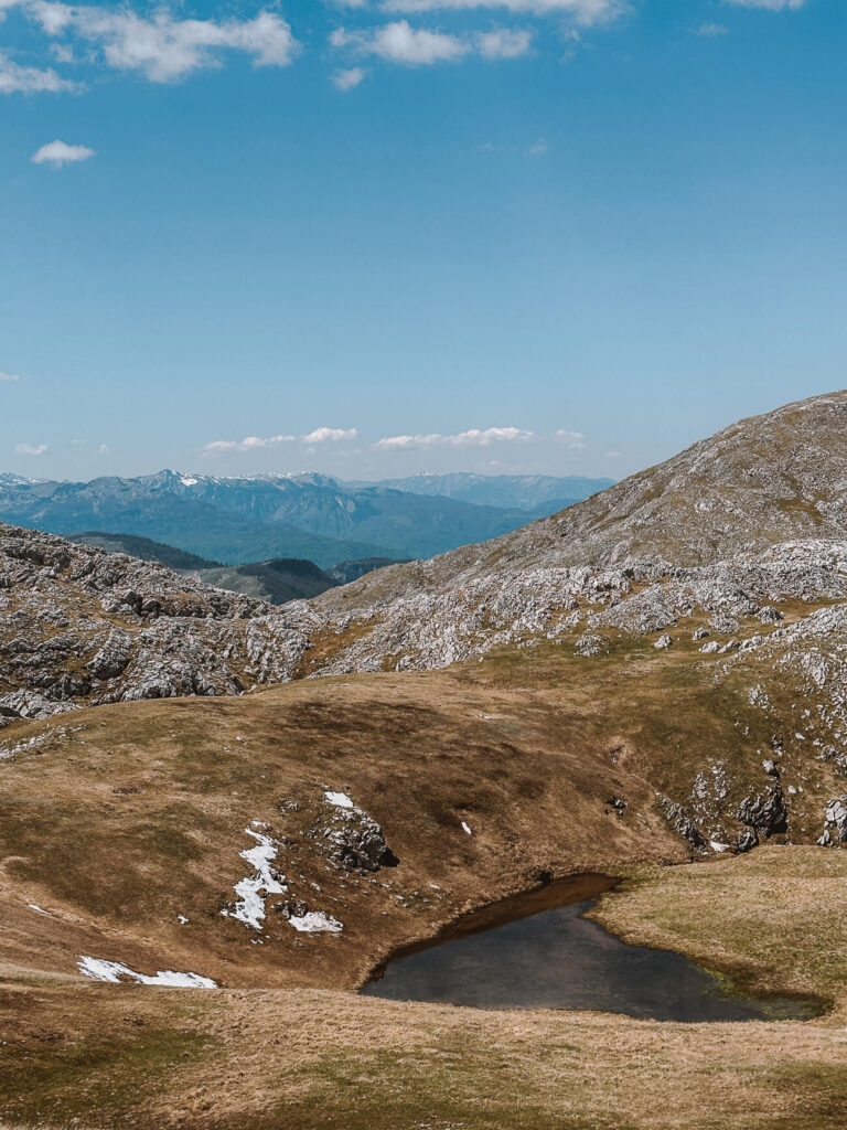
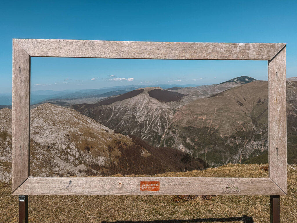
Around two hours from Sarajevo is Mount Visočica with its numerous peaks. Some of them can only be reached with climbing equipment, but the loop trail to Vito is a great hike without equipment, even for beginners. From the Vito ridge, you also have a great view of the mountain village of Lukomir opposite.
In theory, you can even combine this hike with an overnight stay in the futuristic bivouac - a refuge that is freely accessible to everyone.
Tip // The most beautiful loop is the anti-clockwise one - you first climb up to the ridge, then walk along it and have another small climb ahead of you to get to the bivouac before returning to the car park almost at ground level.
Bobsleigh track hike | In the footsteps of Olympia
Length: 5,59 km | Altitude metres: 560 +/- | Walking time: 1,46 hours | Tour on all trails
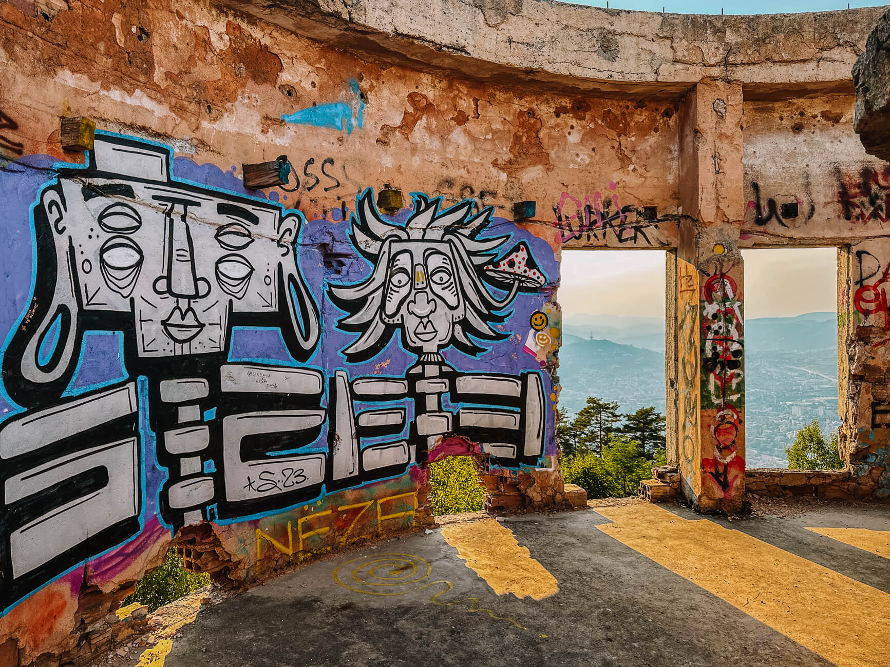
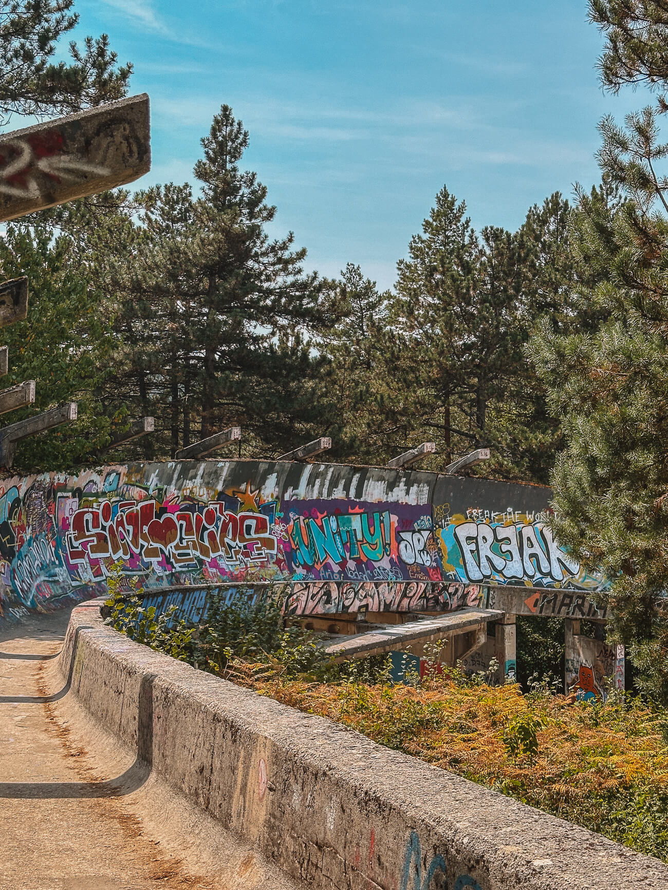
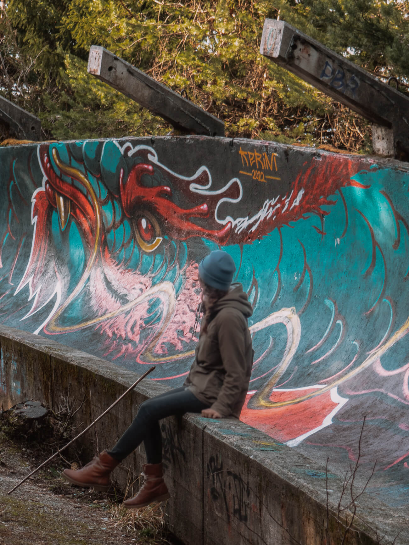
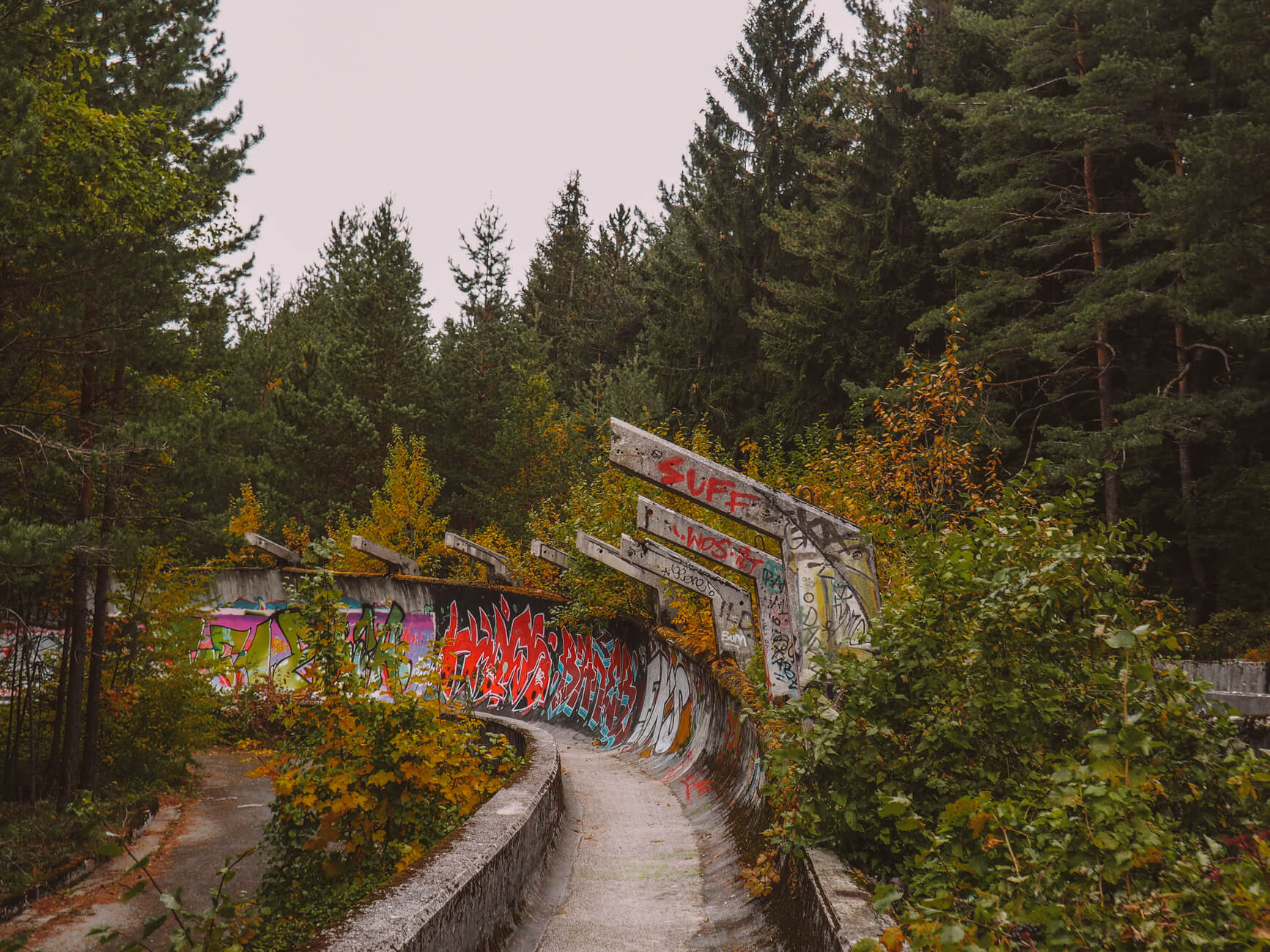
This tour is one of my favourites because it is so unique: from the cable car station, you walk along the old bobsleigh run from the 1984 Winter Olympics - and can discover numerous murals and graffiti as you walk.
The hiking trail actually leads directly on along the bobsleigh track until you finally walk back down to the city on a fresh tarred road, surrounded by the mahalas, the oldest neighbourhoods in the Bosnian capital.
Tip // If you have a valid residence permit for Bosnia and Herzegovina, you pay the local price, even without a Bosnian passport. So bring your visa with you. All information on the žičara website.
Diva Grabovica | In the wilderness of Herzegovina
Length: 8,83 km | Altitude metres: 745 +/- | Walking time: 3,16 hours | Tour on all trails
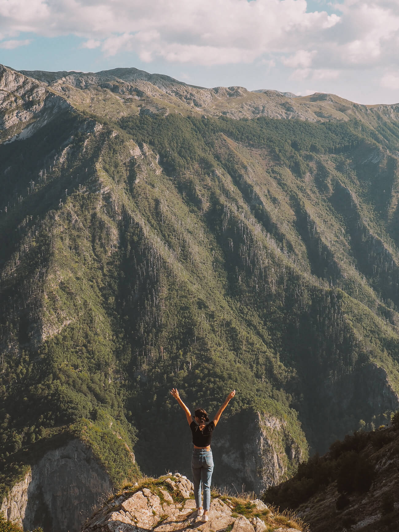
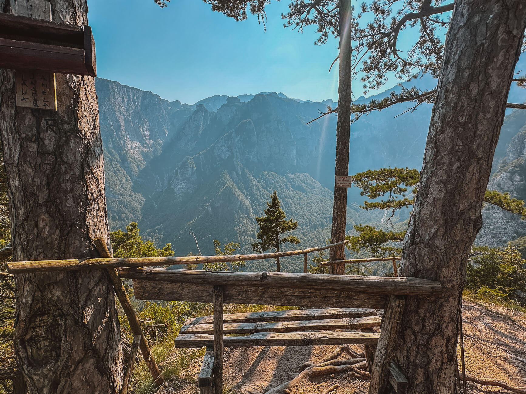
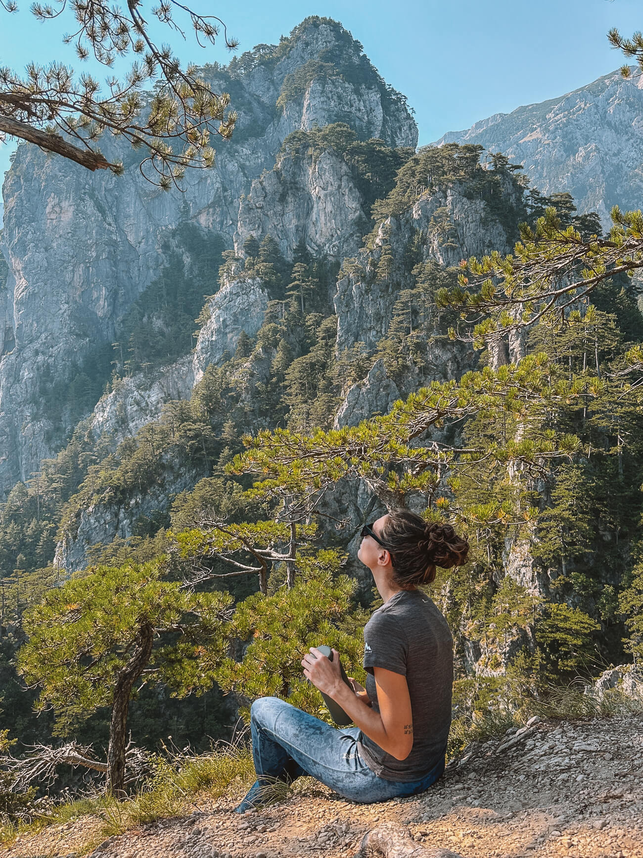
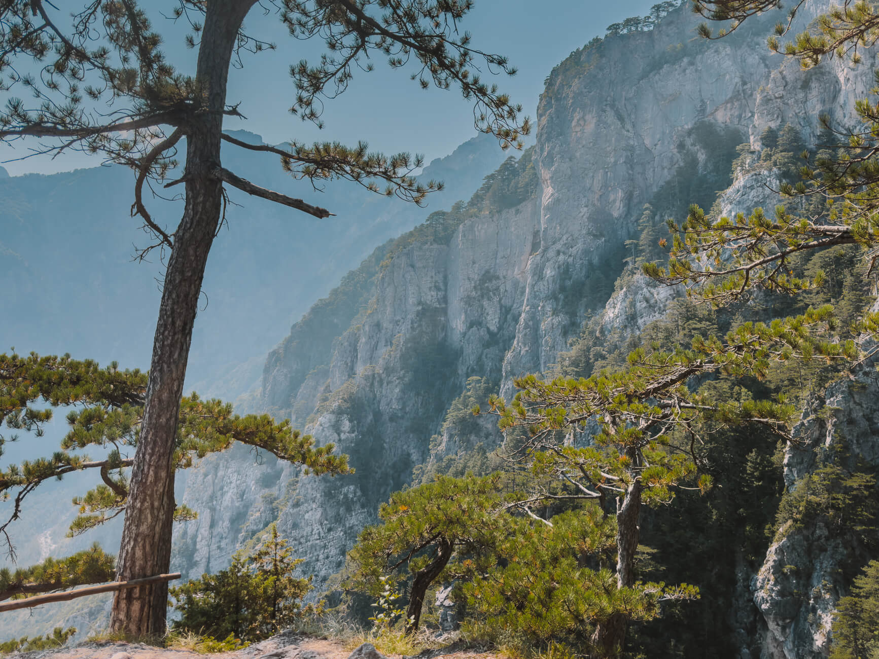
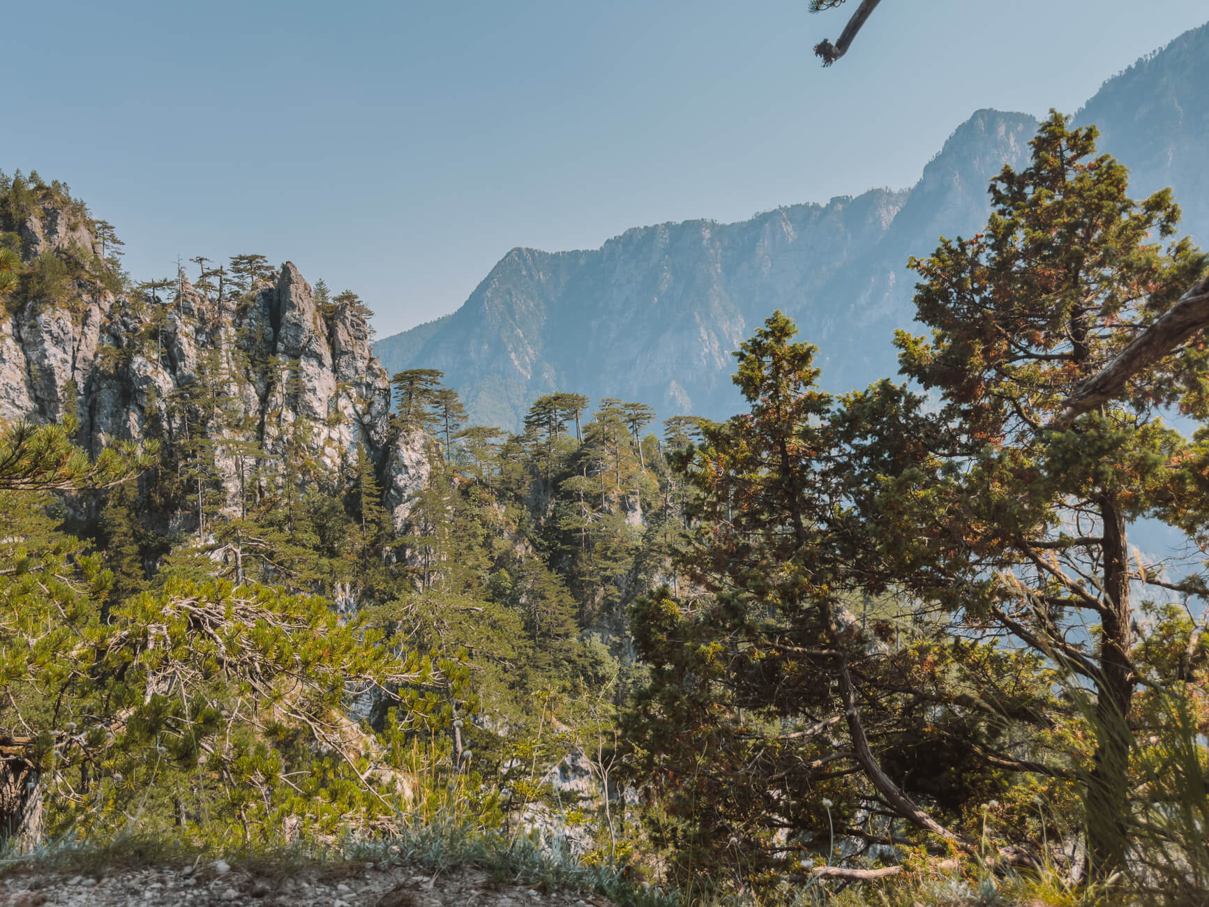
For this hike, you have to drive around two hours from Sarajevo in the direction of Mostar. The trail starts in the middle of the wild nature of Herzegovina and leads through the forest for almost the entire time - and always steeply uphill.
But the view from Zlijeb is worth the effort and truly breathtaking. It's crazy to think that some of these mountains have probably never been walked on by humans. You can find unspoilt spots all over Bosnia and Herzegovina - and this is a very special one of them.
Tip // You don't need to carry too much water with you. Bring a refillable water bottle, you will find two sources on the trail where you can refill it.
Local insider tip // To cool down after the hike, you can stop at the this secret beach here which is normally only visited by locals. Thanks to Instagram, however, it has become more popular in recent years - which means: please respect nature and take your rubbish back with you to leave the place beautiful for everyone else.
Crjepolsko | A day in nature
Lengthup to 15.3 km | Altitude metres: 552 +/- | Walking timeup to 4.43 hours Tour on OutdoorActive
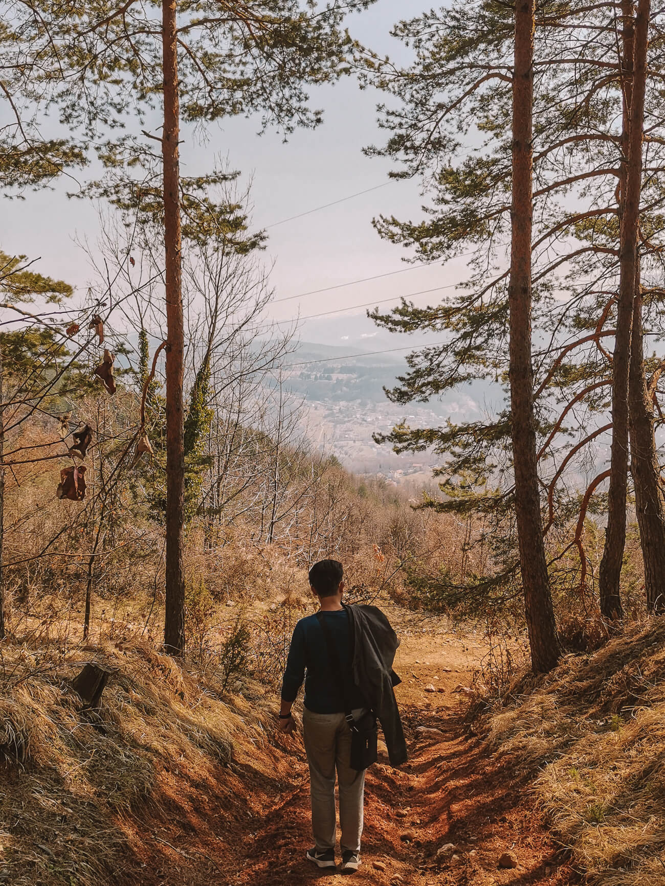
The Čavljak-Crepoljsko-Bukovik recreational area is only a 15-minute drive from Sarajevo and offers numerous well-signposted hiking trails. The route shown here is just an example - you don't have to hike it in its entirety, but you can also hike only parts of it.
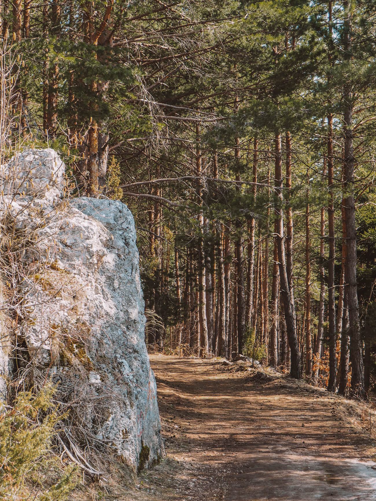
In general, the hikes on Čavljak and Crepoljsko are also totally beginner-friendly, some of them more like walks. You will also find numerous mountain huts along the routes where you can have a picnic or enjoy local Bosnian food. You can even have a barbecue at the starting point of some hikes.
What about mines? Safety when hiking
Mount Trebević has been a favourite excursion destination for the people of Sarajevo for many decades. It has been declared completely mine-free since 2021, so you can go hiking with complete peace of mind.
The other hiking areas and hikes I have listed here are also safe - but make sure you stay on the marked hiking trails at all times. And not even because of the possibility of stepping on a mine, but for your own safety.
This way you won't destroy the endemic flora and fauna in this part of the Dinaric Alps and if you really need help on the trail, you can be found more easily.
If you are travelling in the more remote areas of Bosnia, you can use iLook up any minefields with this app.